Astute Spruce

Southeast Aquatic Barrier Prioritization Tool
Increasing Aquatic Habitat Connectivity in the Southeast U.S.
Hundreds of years of man-made alterations to the rivers and streams the U.S. has resulted in heavily fragmented aquatic habitat. The Southeast U.S. also has some of the highest aquatic biodiversity in the world, which means that there are now many endangered, threatened, or other at-risk aquatic species throughout that region. Aquatic fragmentation has also had devastating effects on populations of many aquatic species throughout the U.S., including salmonids in the Pacific Northwest.
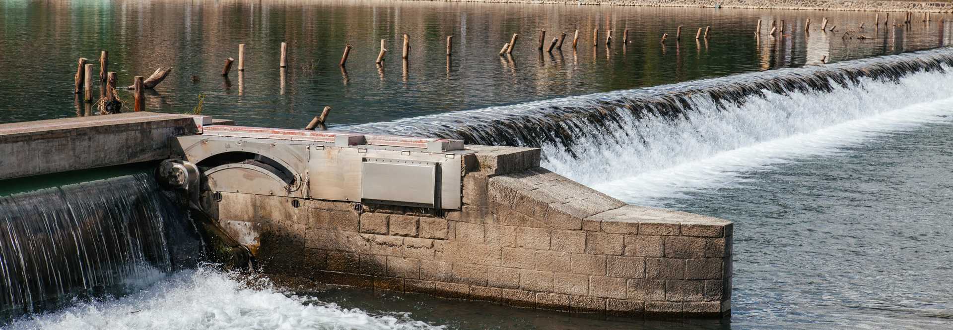
These aquatic barriers include a wide range of dams, from tiny mill-pond dams to massive hydroelectric or water management dam systems, as well as culverts and other types of road crossings over rivers and streams. While some of these barriers may include fish ladders or other systems that assist migrating fish, most do not. In some cases, these barriers have fallen into disrepair, and are now a hazard in the aquatic landscape. There is a strong need to identify what barriers even exist across the region, their condition, and which ones can be removed or otherwise mitigated to improve habitat connectivity and reduce hazards.
The Southeast Aquatic Resources Partnership (SARP) have been leading the development of a region-wide inventory of aquatic barriers for several years. They have been instrumental in forming aquatic connectivity teams in states throughout the Southeast that focus on using this inventory to identify aquatic barriers that can be removed or mitigated. As part of this, they need to find the barriers provide a reasonable balance between increasing aquatic connectivity while remaining feasible both in terms of financial cost as well as overall socioeconomic support. For example, removing a large active hydropower dam could greatly increase the amount of connected rivers and streams in an area, but may come at a very steep economic and social cost. In contrast, an aging unused dam created several decades ago may be both feasible to remove, and contribute a significant amount of re-connected habitat.
In order to help SARP's partners better identify and prioritize aquatic barriers, we created and have continued to improve the Southeast Aquatic Barrier Prioritization Tool.
The inventory of aquatic barriers and prioritization tool was expanded to the Intermountain, Great Plains, and Southwest regions during 2021, and is being expanded to the Pacific Northwest during 2022.
This tool allows users to:
- Explore summaries of aquatic barriers across the region by state, county, watershed, and other summary areas
- Select barriers within a given area of interest
- Filter barriers according to various criteria
- Prioritize barriers for removal based on overall amount of network connectivity or habitat quality

A Better Aquatic Network Analysis framework
The amount of data that we process to make this tool possible is staggering:
- over 390,000 dams and 37,000 inventoried road-related crossings in SARP's inventory
- several million river and stream segments from the National Hydrography Dataset
- 25 states and Puerto Rico
At the beginning of this project, I worked with SARP to migrate the network analysis framework from ArcGIS to Python. In ArcGIS, a subset of the Southeast region would take over a week to process, and often failed. It couldn't even process the largest subregion used in the analysis. Clearly, that wasn't a sustainable solution.
I created a full analysis suite implemented in Python using open source libraries, which allowed us to snap the barriers to the aquatic network, subdivide the network between the barriers, calculate various network statistics, and use that information to prioritize aquatic barriers based on metrics that characterize how much connected habitat they would contribute.
We greatly improved the efficiency of this analysis suite as well as the quality of analytical results during subsequent phases of development, so that large parts of the U.S. can now be processed in just a few hours. Some of our major improvements included improving snapping of barriers to the aquatic network and deduplication. The inventory is compiled from many individual datasets managed by different organizations with varying data quality, which made it somewhat common to find several nearby points that all indicated the same dam. Furthermore, for larger dams, representing a linear feature that could be more than a mile wide with single point meant that we often missed these major barriers in earlier phases of our analysis. They were simply too far away from the aquatic network to snap correctly, even though they have a major impact on that network.
We also developed analytical methods to identify "estimated" dams, because the inventory still underrepresents the number of dams in place on the landscape. These dams are estimated from the downstream "drain points" where river and stream segments exit waterbodies, and are further refined to waterbodies that have a sufficiently long, straight downstream edge, likely indicating the presence of an artificial impoundment. These are then reviewed manually using aerial imagery before being added into the inventory, and have contributed many thousands of additional barriers into the inventory - further improving our measures of aquatic fragmentation.

Empowering Partners
SARP and partners have been actively engaging with this tool to identify and prioritize barriers. They have already identified several removal projects that are in various phases of planning and have completed at least one removal project based on this tool.
To learn more about aquatic connectivity across large areas of the U.S., check out the connectivity tool and SARP's Aquatic Connectivity Program.
- Javascript, GatsbyJS, React, MapboxGL
- Python, Pandas, GeoPandas, Pygeos, Numpy